
Rockenhausen topographic map
Interactive map
Click on the map to display elevation.
About this map
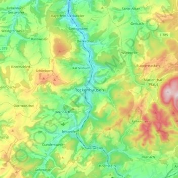
Name: Rockenhausen topographic map, elevation, terrain.
Location: Rockenhausen, Donnersbergkreis, Rijnland-Palts, 67806, Duitsland (49.60071 7.75907 49.65831 7.94373)
Average elevation: 1,115 ft
Minimum elevation: 554 ft
Maximum elevation: 2,152 ft