
Krasiejów topographic map
Interactive map
Click on the map to display elevation.
About this map
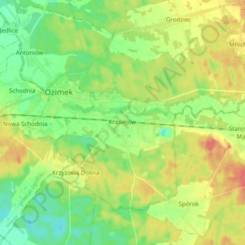
Name: Krasiejów topographic map, elevation, terrain.
Location: Krasiejów, gmina Ozimek, Opole County, Poland (50.63688 18.20902 50.69914 18.34579)
Average elevation: 620 ft
Minimum elevation: 545 ft
Maximum elevation: 722 ft