Geolocate

Crowley topographic map

Click on the map to display elevation.

About this map

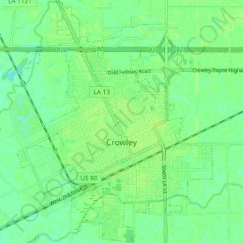
Name: Crowley topographic map, elevation, terrain.

Location: Crowley, Acadia Parish, Louisiana, United States (30.19065 -92.40266 30.24692 -92.34553)

Average elevation: 23 ft

Minimum elevation: 0 ft

Maximum elevation: 36 ft

Acadia Parish trails, hiking, mountain biking, running and outdoor activities

Other topographic maps

Click on a map to view its topography, its elevation and its terrain.

Frey

United States > Louisiana > Acadia Parish

Average elevation: 39 ft

Mowata

United States > Louisiana > Acadia Parish

Average elevation: 39 ft

Gear up for your next adventure:

🧭Pro Hiking Compasses - High-accuracy liquid-filled compasses for topographic orientation
🥾Men's Hiking Boots - Durable, waterproof footwear for rugged terrain and steep inclines
🪓Survival Multi‑Tool - Versatile tool for camp and trail tasks
🪶Compact Camp Shovel - Folding shovel for campsite tasks
GPS Sports Watch - GPS watch for running, hiking and training

As an Amazon Associate, this site earns from qualifying purchases at no extra cost to you.