
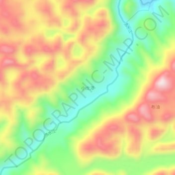
小龙潭 topographic map
Interactive map
Click on the map to display elevation.
About this map
Name: 小龙潭 topographic map, elevation, terrain.
Location: 小龙潭, 丘北县, 文山壮族苗族自治州, 云南省, 中国 (23.99090 104.45200 24.03090 104.49200)
Average elevation: 4,580 ft
Minimum elevation: 3,763 ft
Maximum elevation: 5,456 ft
Other topographic maps
Click on a map to view its topography, its elevation and its terrain.