
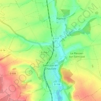
Saint-Just-en-Chaussée topographic map
Interactive map
Click on the map to display elevation.
About this map
Name: Saint-Just-en-Chaussée topographic map, elevation, terrain.
Average elevation: 410 ft
Minimum elevation: 279 ft
Maximum elevation: 581 ft