
Peñadones topographic map
Interactive map
Click on the map to display elevation.
About this map
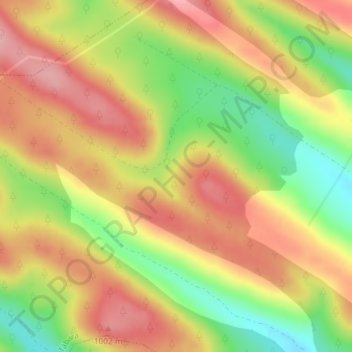
Name: Peñadones topographic map, elevation, terrain.
Location: Peñadones, Tábara, Zamora, Castela e Leão, Espanha (41.84323 -6.06432 41.86323 -6.04432)
Average elevation: 3,084 ft
Minimum elevation: 2,825 ft
Maximum elevation: 3,287 ft