
La Volta topographic map
Interactive map
Click on the map to display elevation.
About this map
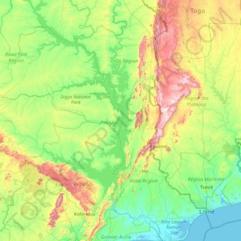
Name: La Volta topographic map, elevation, terrain.
Location: La Volta, Région Volta, Ghana (5.77421 -0.98243 8.65368 0.67282)
Average elevation: 571 ft
Minimum elevation: -10 ft
Maximum elevation: 3,087 ft