
White Horse Hill National Game Preserve topographic map
Interactive map
Click on the map to display elevation.
About this map
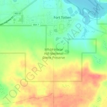
Name: White Horse Hill National Game Preserve topographic map, elevation, terrain.
Average elevation: 1,545 ft
Minimum elevation: 1,440 ft
Maximum elevation: 1,667 ft