
Seddon topographic map
Interactive map
Click on the map to display elevation.
About this map
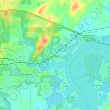
Name: Seddon topographic map, elevation, terrain.
Location: Seddon, St. Clair County, Alabama, 35135, USA (33.57233 -86.24748 33.61233 -86.20748)
Average elevation: 499 ft
Minimum elevation: 449 ft
Maximum elevation: 620 ft