
Boone topographic map
Interactive map
Click on the map to display elevation.
About this map
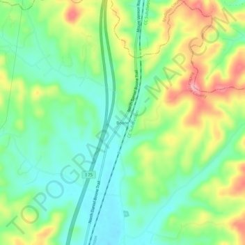
Name: Boone topographic map, elevation, terrain.
Location: Boone, Rockcastle County, Kentucky, United States (37.49758 -84.33660 37.53758 -84.29660)
Average elevation: 1,142 ft
Minimum elevation: 981 ft
Maximum elevation: 1,414 ft