Monts-de-Randon topographic map
Interactive map
Click on the map to display elevation.
About this map
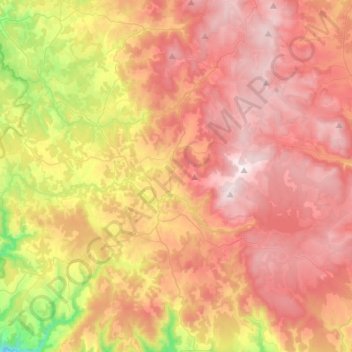
Name: Monts-de-Randon topographic map, elevation, terrain.
Average elevation: 3,957 ft
Minimum elevation: 2,448 ft
Maximum elevation: 5,085 ft

Click on the map to display elevation.
Name: Monts-de-Randon topographic map, elevation, terrain.
Average elevation: 3,957 ft
Minimum elevation: 2,448 ft
Maximum elevation: 5,085 ft