
Sousel topographic map
Interactive map
Click on the map to display elevation.
About this map
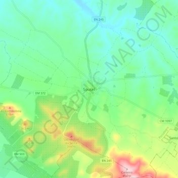
Name: Sousel topographic map, elevation, terrain.
Location: Sousel, Portalegre, 7470-220, Portugal (38.91224 -7.71603 38.99224 -7.63603)
Average elevation: 883 ft
Minimum elevation: 643 ft
Maximum elevation: 1,490 ft