
Bahang topographic map
Interactive map
Click on the map to display elevation.
About this map
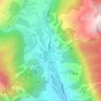
Name: Bahang topographic map, elevation, terrain.
Location: Bahang, Manali, Kullu, Himachal Pradesh, 175103, India (32.25563 77.16114 32.29563 77.20114)
Average elevation: 7,946 ft
Minimum elevation: 6,322 ft
Maximum elevation: 10,692 ft