
Roy topographic map
Interactive map
Click on the map to display elevation.
About this map
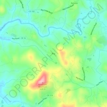
Name: Roy topographic map, elevation, terrain.
Location: Roy, Gilmer County, Georgia, 30533:30536, USA (34.63486 -84.37382 34.67486 -84.33382)
Average elevation: 1,696 ft
Minimum elevation: 1,519 ft
Maximum elevation: 2,100 ft