
Urgental topographic map
Interactive map
Click on the map to display elevation.
About this map
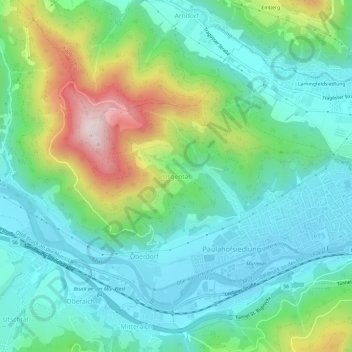
Name: Urgental topographic map, elevation, terrain.
Average elevation: 2,070 ft
Minimum elevation: 1,558 ft
Maximum elevation: 3,448 ft
Other topographic maps
Click on a map to view its topography, its elevation and its terrain.
Oberdorf
Österreich > Steiermark > Bezirk Bruck-Mürzzuschlag > Bruck an der Mur > Oberdorf
Oberdorf, Bruck an der Mur, Bezirk Bruck-Mürzzuschlag, Steiermark, 8600, Österreich
Average elevation: 2,103 ft