
Unterlängenfeld topographic map
Interactive map
Click on the map to display elevation.
About this map
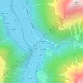
Name: Unterlängenfeld topographic map, elevation, terrain.
Location: Unterlängenfeld, Längenfeld, Bezirk Imst, 6444, Österreich (47.05518 10.94960 47.09518 10.98960)
Average elevation: 5,262 ft
Minimum elevation: 3,773 ft
Maximum elevation: 9,692 ft