
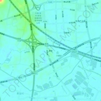
唐巷 topographic map
Interactive map
Click on the map to display elevation.
About this map
Name: 唐巷 topographic map, elevation, terrain.
Location: 唐巷, 朱林镇, 金坛区, 常州市, 江苏省, 213200, 中国 (31.70103 119.41030 31.74103 119.45030)
Average elevation: 23 ft
Minimum elevation: 3 ft
Maximum elevation: 128 ft