
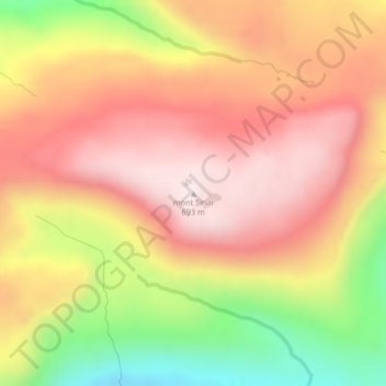
mont Sinaï topographic map
Interactive map
Click on the map to display elevation.
About this map
Name: mont Sinaï topographic map, elevation, terrain.
Average elevation: 1,447 ft
Minimum elevation: 226 ft
Maximum elevation: 2,270 ft
Other topographic maps
Click on a map to view its topography, its elevation and its terrain.
Cataractes
Frankrijk > Franse Zuidelijke en Antarctische Gebieden
Cataractes, Kerguelen, Franse Zuidelijke en Antarctische Gebieden, Frankrijk
Average elevation: 102 ft