
San Andres topographic map
Interactive map
Click on the map to display elevation.
About this map
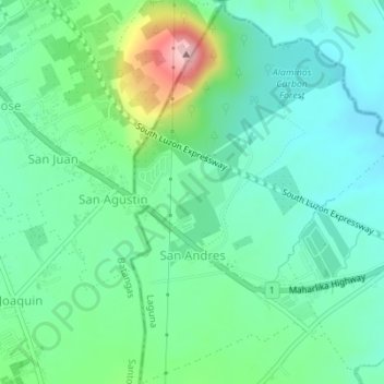
Name: San Andres topographic map, elevation, terrain.
Location: San Andres, Alaminos, Laguna, Calabarzon, 4001, Philippines (14.04899 121.20904 14.08241 121.23321)
Average elevation: 702 ft
Minimum elevation: 515 ft
Maximum elevation: 1,220 ft