
Gehlberg topographic map
Interactive map
Click on the map to display elevation.
About this map
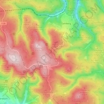
Name: Gehlberg topographic map, elevation, terrain.
Location: Gehlberg, Suhl, Thüringen, Duitsland (50.63609 10.73381 50.68895 10.82787)
Average elevation: 2,533 ft
Minimum elevation: 1,729 ft
Maximum elevation: 3,215 ft
Other topographic maps
Click on a map to view its topography, its elevation and its terrain.
Schmiedefeld am Rennsteig
Schmiedefeld am Rennsteig, Suhl, Thüringen, Duitsland
Average elevation: 2,438 ft