
Gadancourt topographic map
Interactive map
Click on the map to display elevation.
About this map
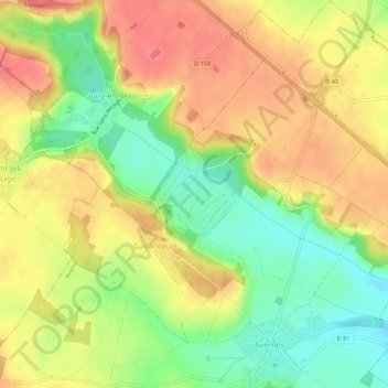
Name: Gadancourt topographic map, elevation, terrain.
Average elevation: 387 ft
Minimum elevation: 266 ft
Maximum elevation: 489 ft
Other topographic maps
Click on a map to view its topography, its elevation and its terrain.
Le Fond des Gâts
France > Île-de-France > Val-d'Oise > Avernes
Le Fond des Gâts, Avernes, Pontoise, Val-d'Oise, Île-de-France, France métropolitaine, 95450, France
Average elevation: 381 ft