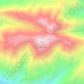
Naiband topographic map
Interactive map
Click on the map to display elevation.
About this map
Name: Naiband topographic map, elevation, terrain.
Average elevation: 8,402 ft
Minimum elevation: 6,808 ft
Maximum elevation: 9,728 ft

Click on the map to display elevation.
Name: Naiband topographic map, elevation, terrain.
Average elevation: 8,402 ft
Minimum elevation: 6,808 ft
Maximum elevation: 9,728 ft