
巴音河 topographic map
Interactive map
Click on the map to display elevation.
About this map
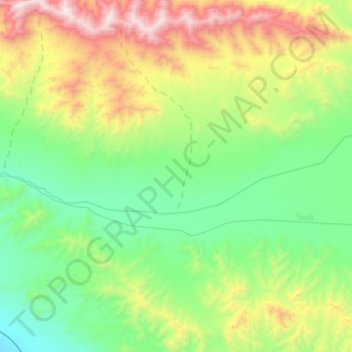
Name: 巴音河 topographic map, elevation, terrain.
Location: 巴音河, 德令哈市, 海西蒙古族藏族自治州, 青海省, 中国 (37.35671 97.44725 37.39936 97.69452)
Average elevation: 11,302 ft
Minimum elevation: 9,498 ft
Maximum elevation: 15,413 ft
Other topographic maps
Click on a map to view its topography, its elevation and its terrain.