
Sepanjangjaya topographic map
Interactive map
Click on the map to display elevation.
About this map
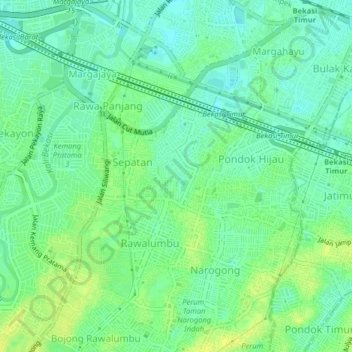
Name: Sepanjangjaya topographic map, elevation, terrain.
Location: Sepanjangjaya, Kota Bekasi, West Java, 17115, Indonesia (-6.28672 106.98337 -6.24672 107.02337)
Average elevation: 79 ft
Minimum elevation: 52 ft
Maximum elevation: 108 ft
Other topographic maps
Click on a map to view its topography, its elevation and its terrain.
Jatibening
Indonesia > West Java > Kota Bekasi
Jatibening, Kota Bekasi, West Java, 17412, Indonesia
Average elevation: 75 ft