
圩南 topographic map
Interactive map
Click on the map to display elevation.
About this map
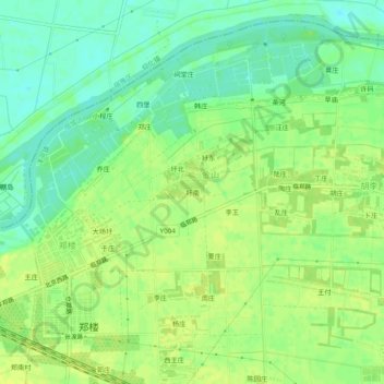
Name: 圩南 topographic map, elevation, terrain.
Location: 圩南, 宿城区, 宿迁市, 江苏省, 中国 (33.78358 118.49410 33.82358 118.53410)
Average elevation: 75 ft
Minimum elevation: 43 ft
Maximum elevation: 95 ft
Other topographic maps
Click on a map to view its topography, its elevation and its terrain.