
Civac Robles topographic map
Interactive map
Click on the map to display elevation.
About this map
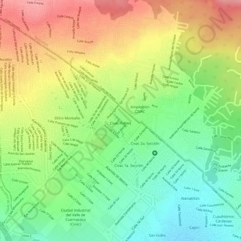
Name: Civac Robles topographic map, elevation, terrain.
Location: Civac Robles, Jiutepec, Morelos, México (18.92122 -99.17038 18.92625 -99.16511)
Average elevation: 4,787 ft
Minimum elevation: 4,603 ft
Maximum elevation: 4,980 ft
Other topographic maps
Click on a map to view its topography, its elevation and its terrain.
Civac 2a. Sección
Civac 2a. Sección, Jiutepec, Morelos, México
Average elevation: 4,754 ft