
Lubao topographic map
Interactive map
Click on the map to display elevation.
About this map
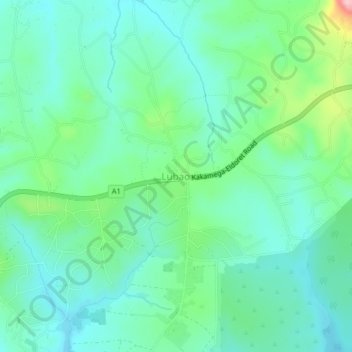
Name: Lubao topographic map, elevation, terrain.
Location: Lubao, Kakamega County, West Kenya, Kenia (0.31528 34.79311 0.35528 34.83311)
Average elevation: 5,157 ft
Minimum elevation: 5,010 ft
Maximum elevation: 5,617 ft