
Río Chancalá topographic map
Interactive map
Click on the map to display elevation.
About this map
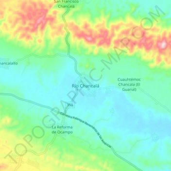
Name: Río Chancalá topographic map, elevation, terrain.
Location: Río Chancalá, Palenque, Chiapas, México (17.29394 -91.72372 17.37394 -91.64372)
Average elevation: 643 ft
Minimum elevation: 335 ft
Maximum elevation: 1,437 ft
Other topographic maps
Click on a map to view its topography, its elevation and its terrain.
Estación San Agustín ( La Placa )
Estación San Agustín ( La Placa ), Palenque, Chiapas, México
Average elevation: 154 ft