
Chappells topographic map
Interactive map
Click on the map to display elevation.
About this map
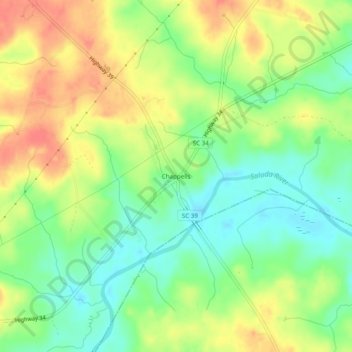
Name: Chappells topographic map, elevation, terrain.
Average elevation: 463 ft
Minimum elevation: 377 ft
Maximum elevation: 558 ft
Other topographic maps
Click on a map to view its topography, its elevation and its terrain.
Whitmire
United States > South Carolina > Newberry County
Whitmire, Newberry County, South Carolina, United States
Average elevation: 394 ft