
Manchester topographic map
Interactive map
Click on the map to display elevation.
About this map
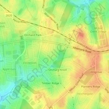
Name: Manchester topographic map, elevation, terrain.
Average elevation: 768 ft
Minimum elevation: 689 ft
Maximum elevation: 820 ft
Other topographic maps
Click on a map to view its topography, its elevation and its terrain.
Yorkmont
Vereinigte Staaten von Amerika > Nord-Carolina > Mecklenburg County > Charlotte
Yorkmont, Charlotte, Mecklenburg County, Nord-Carolina, 28217, Vereinigte Staaten von Amerika
Average elevation: 689 ft