
Făurei topographic map
Interactive map
Click on the map to display elevation.
About this map
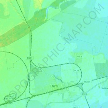
Name: Făurei topographic map, elevation, terrain.
Location: Făurei, Brăila, 815100, Romania (45.07502 27.22264 45.13559 27.31936)
Average elevation: 144 ft
Minimum elevation: 128 ft
Maximum elevation: 167 ft
Other topographic maps
Click on a map to view its topography, its elevation and its terrain.