
City of Harlingen Dam topographic map
Interactive map
Click on the map to display elevation.
About this map
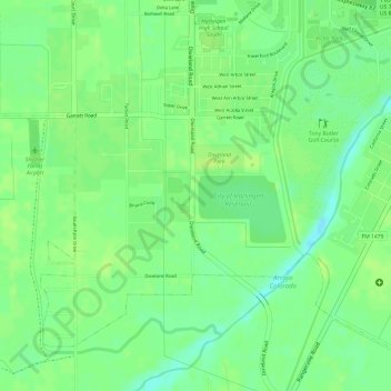
Name: City of Harlingen Dam topographic map, elevation, terrain.
Average elevation: 49 ft
Minimum elevation: 13 ft
Maximum elevation: 66 ft
Other topographic maps
Click on a map to view its topography, its elevation and its terrain.
Harlingen
United States > Texas > Cameron County > Harlingen
Harlingen, Cameron County, Texas, 78550, United States
Average elevation: 46 ft