Geolocate

Emigrant topographic map

Click on the map to display elevation.

About this map

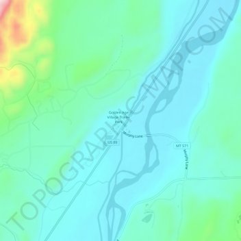
Name: Emigrant topographic map, elevation, terrain.

Location: Emigrant, Park County, Montana, 59027, United States (45.34855 -110.75404 45.38855 -110.71404)

Average elevation: 5,020 ft

Minimum elevation: 4,839 ft

Maximum elevation: 5,889 ft

Park County trails, hiking, mountain biking, running and outdoor activities

Other topographic maps

Click on a map to view its topography, its elevation and its terrain.

Wilsall

United States > Montana > Park County

Average elevation: 5,085 ft

Clyde Park

United States > Montana > Park County

Average elevation: 4,885 ft

Gear up for your next adventure:

🎒Day Hiking Backpack - Lightweight backpack perfect for day trips and outdoor adventures
🗃️Trail First Aid Kit - Essential kit for outdoor injuries and emergencies
🥾Women's Hiking Boots - Top-rated trail boots with ankle support and superior grip
🗺️Topographic Maps - Detailed topo maps for hiking, exploring and outdoor navigation
🪶LED Camping Lantern - Bright lantern for camp lighting

As an Amazon Associate, this site earns from qualifying purchases at no extra cost to you.