
Philippine Relief Map topographic map
Interactive map
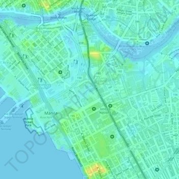
Click on the map to display elevation.
About this map
Name: Philippine Relief Map topographic map, elevation, terrain.
Average elevation: 23 ft
Minimum elevation: -7 ft
Maximum elevation: 89 ft
Other topographic maps
Click on a map to view its topography, its elevation and its terrain.
Manille
Manille, Fifth District, Manila, Grand Manille, Philippines
Average elevation: 20 ft