
Äckern topographic map
Interactive map
Click on the map to display elevation.
About this map
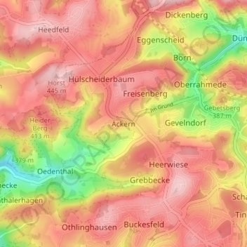
Name: Äckern topographic map, elevation, terrain.
Average elevation: 1,250 ft
Minimum elevation: 856 ft
Maximum elevation: 1,473 ft
Other topographic maps
Click on a map to view its topography, its elevation and its terrain.
Heidnocken
Deutschland > Nordrhein-Westfalen > Märkischer Kreis > Lüdenscheid > Oedenthalerhagen > Eicken
Heidnocken, Eicken, Oedenthalerhagen, Lüdenscheid, Märkischer Kreis, Nordrhein-Westfalen, 58515, Deutschland
Average elevation: 1,099 ft