
Sungai Batu Pahat topographic map
Interactive map
Click on the map to display elevation.
About this map
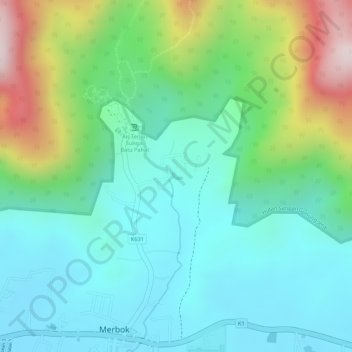
Name: Sungai Batu Pahat topographic map, elevation, terrain.
Location: Sungai Batu Pahat, Merbok, Kuala Muda, Kedah, 08110, Malaysia (5.73423 100.41810 5.73459 100.41881)
Average elevation: 509 ft
Minimum elevation: 23 ft
Maximum elevation: 1,670 ft
Other topographic maps
Click on a map to view its topography, its elevation and its terrain.
Lembah Bujang
Lembah Bujang, K631, Merbok, Kuala Muda, Kedah, 08110, Malaysia
Average elevation: 702 ft