
孤山镇 topographic map
Interactive map
Click on the map to display elevation.
About this map
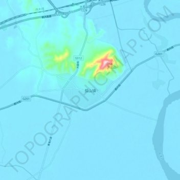
Name: 孤山镇 topographic map, elevation, terrain.
Location: 孤山镇, 东港市, 丹东市, 辽宁省, 中国 (39.85582 123.54975 39.93582 123.62975)
Average elevation: 39 ft
Minimum elevation: -7 ft
Maximum elevation: 1,070 ft
Other topographic maps
Click on a map to view its topography, its elevation and its terrain.