
Villa Rossi topographic map
Interactive map
Click on the map to display elevation.
About this map
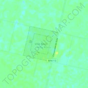
Name: Villa Rossi topographic map, elevation, terrain.
Average elevation: 446 ft
Minimum elevation: 420 ft
Maximum elevation: 479 ft
Other topographic maps
Click on a map to view its topography, its elevation and its terrain.
Rosales
Argentina > Córdoba > Pedanía San Martín > Rosales
Rosales, Comuna de Rosales, Pedanía San Martín, Departamento Presidente Roque Sáenz Peña, Córdoba, X6120, Argentina
Average elevation: 436 ft