
Maqra topographic map
Interactive map
Click on the map to display elevation.
About this map
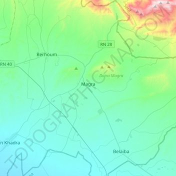
Name: Maqra topographic map, elevation, terrain.
Location: Maqra, دائرة مقرة, M'Sila, Algerien (35.49522 4.99368 35.72617 5.23893)
Average elevation: 2,044 ft
Minimum elevation: 1,378 ft
Maximum elevation: 5,571 ft