
อุดรธานี topographic map
Interactive map
Click on the map to display elevation.
About this map
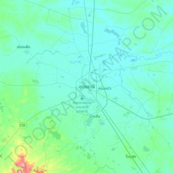
Name: อุดรธานี topographic map, elevation, terrain.
Location: อุดรธานี, หนองขอนกว้าง, Udon Thani, 41000, Thailand (17.24824 102.62681 17.56824 102.94681)
Average elevation: 627 ft
Minimum elevation: 545 ft
Maximum elevation: 1,260 ft
Other topographic maps
Click on a map to view its topography, its elevation and its terrain.