
Marszewo topographic map
Interactive map
Click on the map to display elevation.
About this map
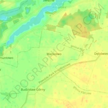
Name: Marszewo topographic map, elevation, terrain.
Average elevation: 344 ft
Minimum elevation: 295 ft
Maximum elevation: 377 ft
Other topographic maps
Click on a map to view its topography, its elevation and its terrain.
Jóźwin
Polen > Woiwodschaft Großpolen > Landkreis Kunau
Jóźwin, gmina Kazimierz Biskupi, Landkreis Kunau, Woiwodschaft Großpolen, 62-530, Polen
Average elevation: 341 ft