
Lac Ha! Ha! topographic map
Interactive map
Click on the map to display elevation.
About this map
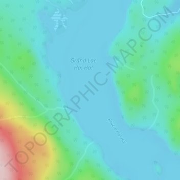
Name: Lac Ha! Ha! topographic map, elevation, terrain.
Average elevation: 1,421 ft
Minimum elevation: 1,227 ft
Maximum elevation: 2,277 ft
Other topographic maps
Click on a map to view its topography, its elevation and its terrain.
Lac Lapointe
Canada > Québec > Le Fjord-du-Saguenay > Ferland-et-Boilleau
Lac Lapointe, Ferland-et-Boilleau, Le Fjord-du-Saguenay, Saguenay–Lac-Saint-Jean, Québec, Canada
Average elevation: 961 ft