
Río Tercero topographic map
Interactive map
Click on the map to display elevation.
About this map
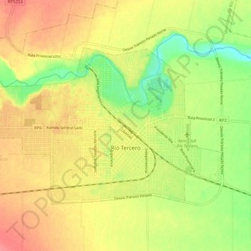
Name: Río Tercero topographic map, elevation, terrain.
Average elevation: 1,257 ft
Minimum elevation: 1,142 ft
Maximum elevation: 1,348 ft
Other topographic maps
Click on a map to view its topography, its elevation and its terrain.
Municipio de Río Tercero
Argentina > Córdoba > Pedanía Salto
Municipio de Río Tercero, Pedanía Salto, Departamento Tercero Arriba, Córdoba, X5980, Argentina
Average elevation: 1,296 ft