
Tornabrack topographic map
Interactive map
Click on the map to display elevation.
About this map
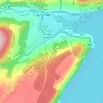
Name: Tornabrack topographic map, elevation, terrain.
Location: Tornabrack, Lewiston, Highland, Écosse, IV63 6UD, Royaume-Uni (57.30194 -4.49293 57.34194 -4.45293)
Average elevation: 374 ft
Minimum elevation: 33 ft
Maximum elevation: 1,086 ft