
Genner topographic map
Interactive map
Click on the map to display elevation.
About this map
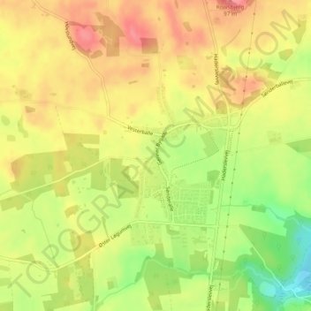
Name: Genner topographic map, elevation, terrain.
Location: Genner, Kommune Apenrade, Region Süddänemark, Dänemark (55.11526 9.42703 55.12733 9.44328)
Average elevation: 164 ft
Minimum elevation: 0 ft
Maximum elevation: 279 ft