
El Ghicha topographic map
Interactive map
Click on the map to display elevation.
About this map
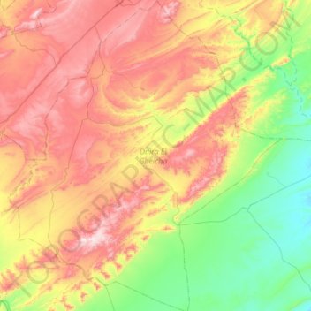
Name: El Ghicha topographic map, elevation, terrain.
Location: El Ghicha, Daïra El Gheicha, Laghouat, Algérie (33.64835 1.88502 34.10206 2.36771)
Average elevation: 4,029 ft
Minimum elevation: 3,025 ft
Maximum elevation: 5,449 ft