
Collinwood topographic map
Interactive map
Click on the map to display elevation.
About this map
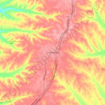
Name: Collinwood topographic map, elevation, terrain.
Location: Collinwood, Wayne County, Tennessee, 38450, United States (35.13433 -87.77734 35.21433 -87.69734)
Average elevation: 955 ft
Minimum elevation: 653 ft
Maximum elevation: 1,089 ft