
Holan topographic map
Interactive map
Click on the map to display elevation.
About this map
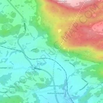
Name: Holan topographic map, elevation, terrain.
Location: Holan, Stjørdal, Trøndelag, 7512, Noruega (63.48535 10.86186 63.52535 10.90186)
Average elevation: 538 ft
Minimum elevation: 13 ft
Maximum elevation: 1,893 ft