
Itata topographic map
Interactive map
Click on the map to display elevation.
About this map
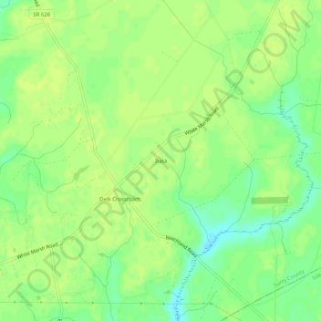
Name: Itata topographic map, elevation, terrain.
Location: Itata, Surry County, Virgínia, Estados Unidos da América (37.02904 -76.80552 37.06904 -76.76552)
Average elevation: 85 ft
Minimum elevation: 49 ft
Maximum elevation: 105 ft