
Causes topographic map
Interactive map
Click on the map to display elevation.
About this map
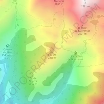
Name: Causes topographic map, elevation, terrain.
Location: Causes, Lladorre, Pallars Sobirà, Lleida, Catalonia, Spain (42.69924 1.24977 42.69934 1.24987)
Average elevation: 6,755 ft
Minimum elevation: 4,888 ft
Maximum elevation: 9,101 ft